Professional marine navigation used to require an expensive GPS plotter. Now, same technology used in merchant shipping is available for Windows. Please ... Read More > or Download Now >
Seapilot for Windows Phone
Tech Specs
- • Version: 1.2.8.47
- • Price: 0
- • Content Rating: Not Rated
- • Requirements: Windows Phone 8.1
- • File Name: Seapilot.APPX
User Ratings

- • Rating Average:
- 3.6 out of 5
- • Rating Users:
- 23
Download Count
- • Total Downloads:
- 54
- • Current Version Downloads:
- 49
- • Updated: April 16, 2017
More About Seapilot
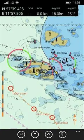
Professional marine navigation used to require an expensive GPS plotter. Now, same technology used in merchant shipping is available for Windows. Please Note: free Seapilot account registration is needed to use the app. 36 hours Trial-period upon first sign-in from app to new user-account, with all functionality and all charts available for evaluation before purchase Seapilot lets you navigate like a pro with vectorized S-57 chart data from National Maritime Administrations. This is the first navigation app to feature Automatic Identification System (AIS) and AIS weather in real time, when within a mobile network. Charts available as annual subscriptions. Use it to plan tomorrow’s boat trip or reminisce about yesterday’s. (PS. Even works in your sofa at home.) Seapilot features: • 36 hours free Trial for new users • 1 user account, useable from multiple devices with Seapilot-app • Professional navigation based on merchant shipping standards for ECDIS (Electronic Chart Display and Information System) • S-57 chart data from National Maritime Administrations and internet-AIS data (annual subscriptions) • AIS (Automatic Identification System) for real-time tracking of vessels equipped with an AIS transponder. • Weather in real time via AIS from national weather stations showing wind speed and direction, air pressure, temperature, etc. Automatically displays information for the nearest weather station. (At present only for Scandinavian countries. To be extended.) • Developed by True Heading, leaders in marine navigation and communication at sea, with cutting-edge AIS and VHF know-how Annual subscriptions: Δ National S-57 chart data for most countries in northern Europe and US/Canada. More to come. Based on 140 years of experience Seapilot has been developed by True Heading (www.trueheading.se) and Stockholmradio – experts at AIS, VHF, marine navigation and communication at sea. • True Heading is a leader in AIS products with over 40 years of navigation experience. – an authority on professional navigation. Contact: Your input is essential in helping us further develop Seapilot. Feel free to contact us at info@seapilot.com. For the latest info, like Seapilot on www.facebook.com/seapilot.se www.seapilot.com

More Apps to Consider (Similar or Related)